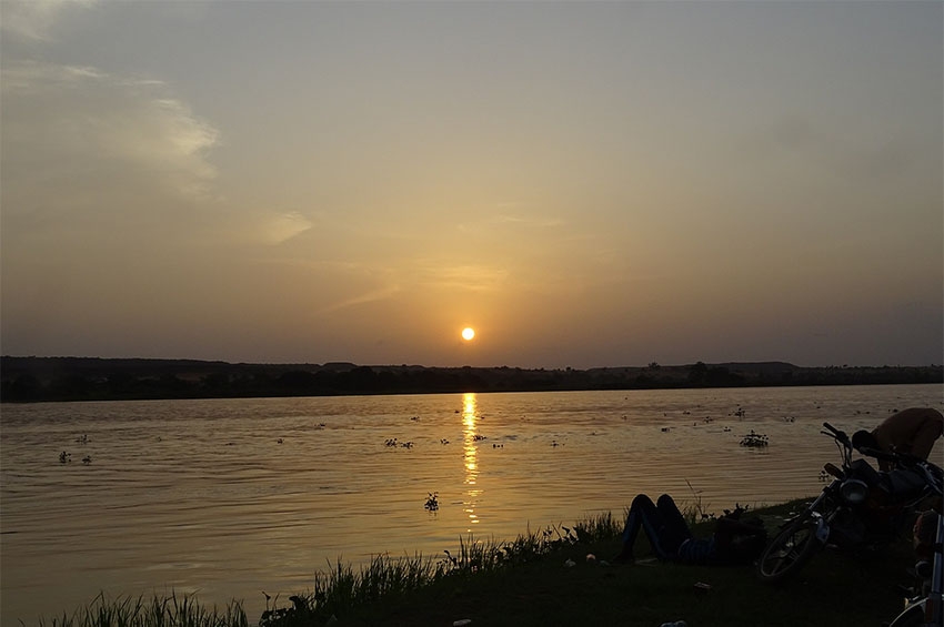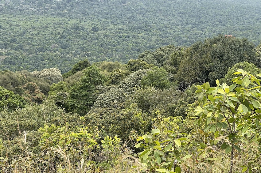
The calm and quiet can be felt as you descend the tiny parcel of land and elevated path that leads to Timboroa dam. As an aura of fresh and still air engulfs, one can’t fail to notice the serene green cascade of trees and lush grass spanning the entire landscape, dotted by sheep and calves, just adjacent to the long winding snake-like Eldoret-Nakuru Highway. This part of the country is a small heaven filled with near perfection. Timboroa dam, also known as Lake Narusha, is located in the Sothern part of Uasin Gishu county, at the border of Uasin Gishu and Baringo Counties of Kenya. It lies at 0.042238, 35.5404759, and is adjacent to Timboroa town, with an the elevation of 2905 metres (9531 ft) above sea level, which is the highest point in the Kenyan highlands inhabited by people.
Timboroa dam is surrounded by Timboroa forest which was designated as a Forest Reserve in 1932, and Tinderet forest. These two forests are, however, diminishing due to human activities. Illegal logging has left most of the forest bare and ugly, potato and maize cultivation within the forest has not only led to forest destruction, but also to soil erosion- this soil is later swept downhill during heavy rains, and this causes siltation in the dam. When siltation occurs, water plants grow, while water levels drop. This is one of the major problems facing the dam, which might lead to drying up of the dam in the near future.
The name Timboroa was derived from the Kalenjin Phrase ‘Tim bo borowa’, which means a thicket of ropes, as the forest was prominently dense with a thick network of climbers and lianas. It is one of the few inland lakes that occur in high altitude areas that are not mountains. The lake which is permanent and fresh water is believed to have been formed at around the same time as Rift Valley and other geological features were formed. Though not geologically proven, it is believed that the deepest point of the lake connects to the hot rocks beneath. Hot water cools before reaching the surface, and that forms the clear parts of the dam. Lake Narusha forms part of the head waters draining to Lake Victoria and Lake Baringo. Myth has it that the lake holds treasures of mysterious histories and is really valued by the local community around it.
A meeting with the residents of Timboroa area of Uasin Gishu, county revealed that indeed this lake is very dear to them, and they really value it. Mzee Sambu, an old man and elder from the community, vividly recalls how the dam used to be filled to the brim by sparkling clear waters in the early 70s during his heydays. He recounts how thick and dense the forest that surrounded the lake was, and one could hardly see bare soil. Mzee recalls how dark and impenetrable the thicket was! “This whole area was covered with a thicket of bamboo and African Olive trees”, he says this while pointing at a bare land previously cultivated for potato production, just across the dam, on the next hill. This bare piece of land flows seamlessly and its bottom edges touches the edges of the Timboroa Dam. “You see all these houses; they were not here. That space was covered by long ropes ‘borowoshek’, and our herbalists would disappear into the thickets for hours before re-emerging with traditional cures to many ailments. “This water never dropped to this level before, this is indeed sad”, insisted Mzee Sambu while thoughtfully gazing at the water whose banks have currently receded to nearly 50% of the total dam area.
Some of the area residents attested that word has it that the lake is home to mysterious animals that only appear at night. Legend has it that once upon a time, during the colonial era, a settler’s oxbow fell into the dam only to be recovered later in Lake Victoria in Kisumu. This myth by the locals asserts that the lake has underground channels that drain into Lake Victoria in Kisumu, Kenya.
“When I was a bride, just married into this land, there were several water pumps which pumped his water into pipes. This water was transported far and wide”, recalls Mama Chebet, a middle-aged mother who also lives in the community.

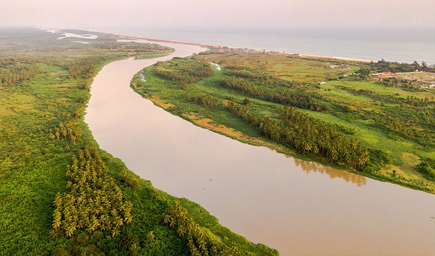
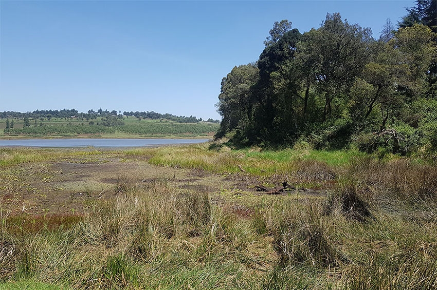
Timboroa Dam. Photo by Sheila Koech
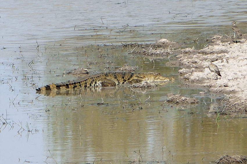
The lake serves water to the lower parts of the former Uasin Gishu South Constituency including Ainabkoi, Burnt Forest and Kapchorwa. The dam supplies water to the nearby social amenities such as schools, hospitals, and the Timboroa Railway station. Approximately 10,000 households and an estimated 250,000 individuals benefit from the dam. The dam is also a source of livelihood since many farmers downstream rely on its waters for irrigating their crops. In addition to this, the dam is home to hundreds of bird species and aquatic plant and animal species. It is marked as one of the birding hotspots in Kenya, hosting some of the endangered and endemic bird species such as the Red-knobbed coot, and a variety of duck species.
The dam, which was initially surrounded by a huge thicket of bamboo of the Timboroa and Tinderet Forests, as described by one of the residents, is now bare and open. Siltation is the major problem facing the dam, with close to 60% of the total dam area initially covered by water being covered by rooted sedges. This siltation is mainly due to cultivation uphill near the shores of the lake. The dam also lies adjacent to a major highway, and railway line- and this poses a threat of pollution.
According to residents living adjacent to the dam, there occurred a train accident in 1982 which led to the falling of a tanker carrying crude oil and subsequent spilling of this oil into the wetland ecosystem. This this poured down and settled at the shore, just adjacent, south of the dam. This oil is still visible to date, and this poses a very serious threat to the dam. When it rains, ground run-off could carry this oil into the dam. This has not happened yet, however, thanks to the papyrus and other water grasses that have grown so tall and are strongly rooted beneath the water.
Community organizations including the Green Earth Organization, and the local administration have put in numerous efforts to salvage the dam from the myriads of threats it is facing, but this has not yielded much fruit so far. Priority needs to be given in addressing the issues of siltation and pollution. There is a call to action to address these problems and some of the action points include:
- Community education and awareness creation
- Desilting of the Timboroa dam
- Reafforestation of the Timboroa and Tinderet forests
- Introduction of community activities such as apiculture as a measure to conserve the forests and dam